FOR COMMUNITIES
Maps people can use.
Help residents and staff find property information, public services, and local projects in one place.
Municipal GIS
SPOONBILL GEOSPATIAL SOLUTIONS
Bring your maps, records, and field information together. Give your team and your community a simpler way to find answers.
Based in Louisiana. Serving Louisiana, Texas & Arkansas.
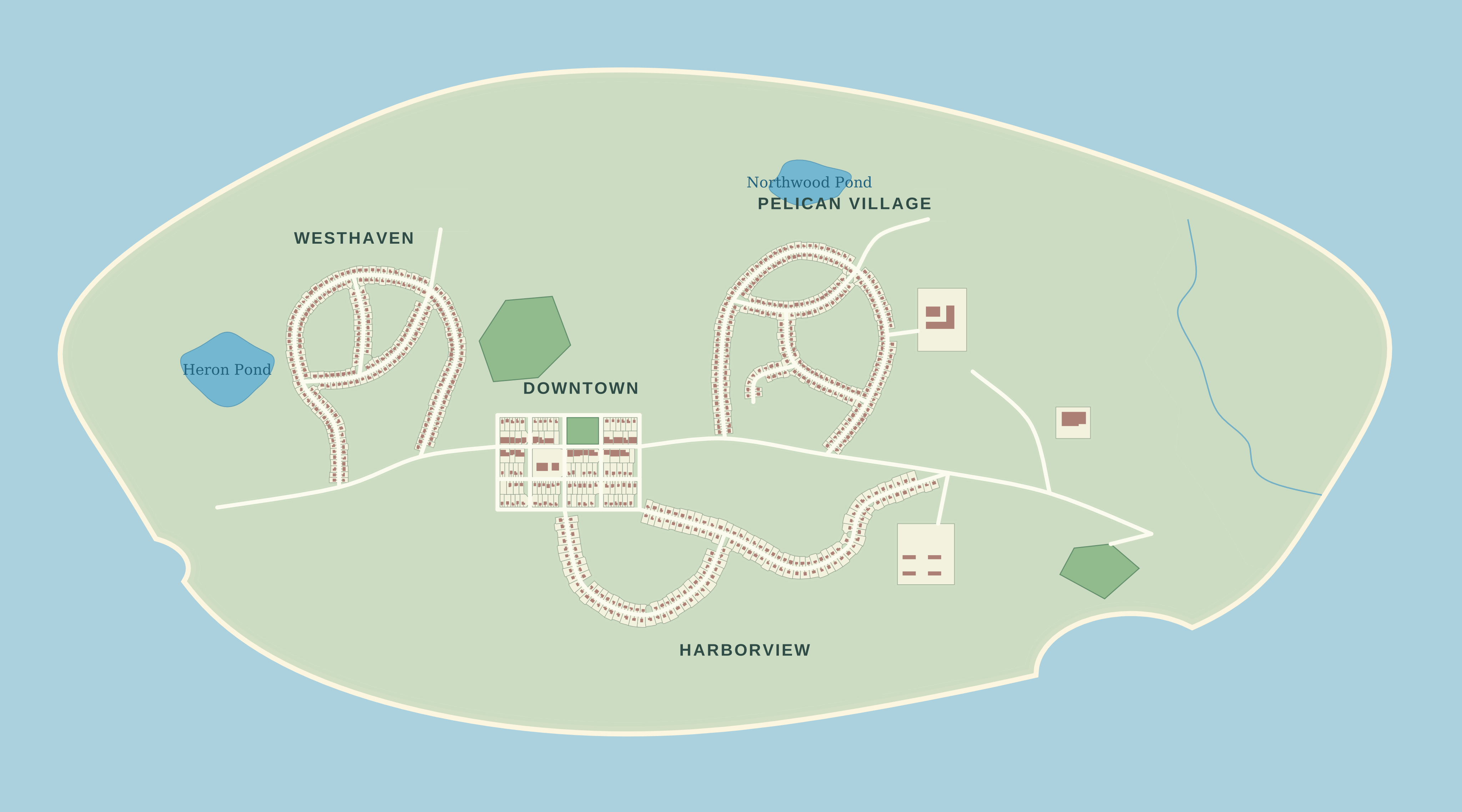 A clearer view of your community.
Find information faster
Connect field & office
Make the next step clearer
SEE IT IN ACTION
You don’t need to know GIS to use a good map.
Choose an example and see for yourself.
A dedicated view of the systems that keep a community running.
Imagine this with your community’s information.
One familiar place for residents, staff, and field teams to find what they need.
PRACTICAL GIS. PERSONAL SUPPORT.
FOR COMMUNITIES
Help residents and staff find property information, public services, and local projects in one place.
Municipal GISFOR UTILITIES & ASSETS
Connect your asset inventory, inspection records, and maintenance information to the map.
Utility & asset GISFOR FIELD & OFFICE
Capture observations in the field and bring consistent, useful information back to your team.
Field data collectionAlso here to help with GIS automation, drone & 3D mapping, and environmental GIS.
A CLEAR PATH FORWARD
Whether you have a room full of paper maps or an established GIS, we can start with one practical problem.
Meet SpoonbillTell us what’s difficult today and who needs better information.
A focused map, a field form, or cleaner records shaped around your work.
Practical documentation and support, so you can use and maintain what we build.
A FEW COMMON QUESTIONS
A geographic information system connects information to places. Think of a map that can also tell you which road needs repairs, when an asset was inspected, or which services reach an address.
Yes. A focused first project can be a useful starting point. We’ll discuss the information you have, the people who need it, and what makes sense to build first.
No. It’s a fictional demonstration with sample records. You can explore it without signing in or providing personal information. A project for your community would use your own information and access requirements.
LET’S MAKE YOUR WORK EASIER
Tell us about your community, your team, or the problem you’re working through.